Down to the valley
Introduction
The photograph on this page of Down to the valley by Ian Paterson as part of the Geograph project.
The Geograph project started in 2005 with the aim of publishing, organising and preserving representative images for every square kilometre of Great Britain, Ireland and the Isle of Man.

There are currently over 7.5m images from over 14,400 individuals and you can help contribute to the project by visiting https://www.geograph.org.uk
Down to the valley
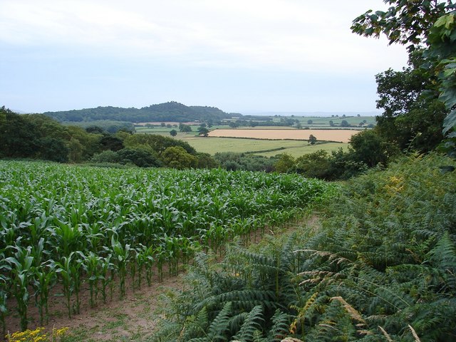
Image: © Ian Paterson Taken: 8 Jul 2010
Wonderful view of the flood plain from one of the high points on the many public footpaths around Harmer Hill Wood, courtesy of the Hardwicke Estate.
Images are licensed for reuse under creativecommons.org/licenses/by-sa/2.0
Image Location
Latitude
52.799952
Longitude
-2.775377