Oxted Road
Introduction
The photograph on this page of Oxted Road by Oast House Archive as part of the Geograph project.
The Geograph project started in 2005 with the aim of publishing, organising and preserving representative images for every square kilometre of Great Britain, Ireland and the Isle of Man.

There are currently over 7.5m images from over 14,400 individuals and you can help contribute to the project by visiting https://www.geograph.org.uk
Oxted Road
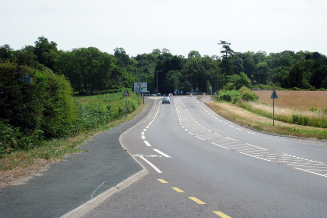
Image: © Oast House Archive Taken: 9 Jul 2010
Towards Oxted. Looking towards roundabout with Tandridge Lane and Barrow Green Road.
Images are licensed for reuse under creativecommons.org/licenses/by-sa/2.0
Image Location
Latitude
51.250243
Longitude
-0.036648