Bouverie Avenue South, Salisbury
Introduction
The photograph on this page of Bouverie Avenue South, Salisbury by Peter Facey as part of the Geograph project.
The Geograph project started in 2005 with the aim of publishing, organising and preserving representative images for every square kilometre of Great Britain, Ireland and the Isle of Man.

There are currently over 7.5m images from over 14,400 individuals and you can help contribute to the project by visiting https://www.geograph.org.uk
Bouverie Avenue South, Salisbury
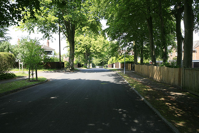
Image: © Peter Facey Taken: 30 Jun 2006
One of the older residential parts on Harnham Hill. The turning at left is Bouverie Close.
Images are licensed for reuse under creativecommons.org/licenses/by-sa/2.0
Image Location
Latitude
51.055767
Longitude
-1.803053