Newly extended footpath near Darts Farm
Introduction
The photograph on this page of Newly extended footpath near Darts Farm by David Smith as part of the Geograph project.
The Geograph project started in 2005 with the aim of publishing, organising and preserving representative images for every square kilometre of Great Britain, Ireland and the Isle of Man.

There are currently over 7.5m images from over 14,400 individuals and you can help contribute to the project by visiting https://www.geograph.org.uk
Newly extended footpath near Darts Farm
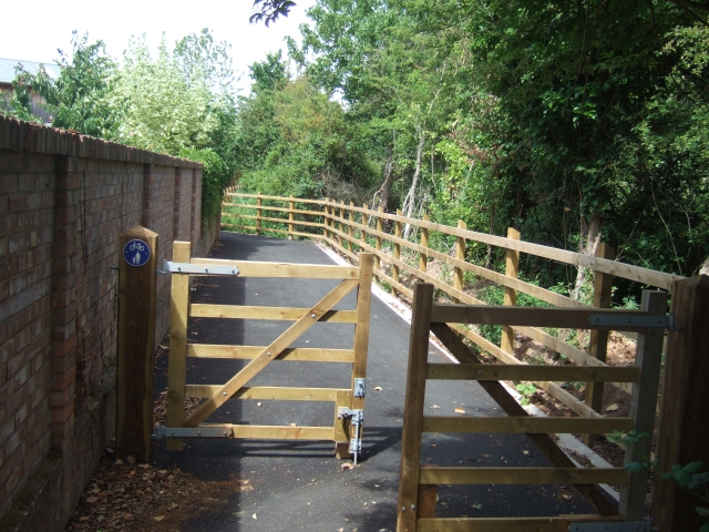
Image: © David Smith Taken: 8 Jul 2010
This is intended to link to the Exe Estuary Trail; the path has been surfaced to be used by cyclists, but retains several signs claiming it is a footpath.
Images are licensed for reuse under creativecommons.org/licenses/by-sa/2.0
Image Location
Latitude
50.682996
Longitude
-3.449261