Footpath junction
Introduction
The photograph on this page of Footpath junction by Alan Murray-Rust as part of the Geograph project.
The Geograph project started in 2005 with the aim of publishing, organising and preserving representative images for every square kilometre of Great Britain, Ireland and the Isle of Man.

There are currently over 7.5m images from over 14,400 individuals and you can help contribute to the project by visiting https://www.geograph.org.uk
Footpath junction
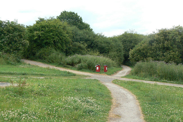
Image: © Alan Murray-Rust Taken: 6 Jul 2010
The undeveloped area between Killisick Lane, Homefield Avenue and Kilbourne Road has been turned into open space with a network of footpaths. None of these follow the line of the right of way shown on the Ordnance Survey maps.
Images are licensed for reuse under creativecommons.org/licenses/by-sa/2.0
Image Location
Latitude
53.011872
Longitude
-1.11358