The Ashby Canal near Bramcote, Warwickshire
Introduction
The photograph on this page of The Ashby Canal near Bramcote, Warwickshire by Roger D Kidd as part of the Geograph project.
The Geograph project started in 2005 with the aim of publishing, organising and preserving representative images for every square kilometre of Great Britain, Ireland and the Isle of Man.

There are currently over 7.5m images from over 14,400 individuals and you can help contribute to the project by visiting https://www.geograph.org.uk
The Ashby Canal near Bramcote, Warwickshire
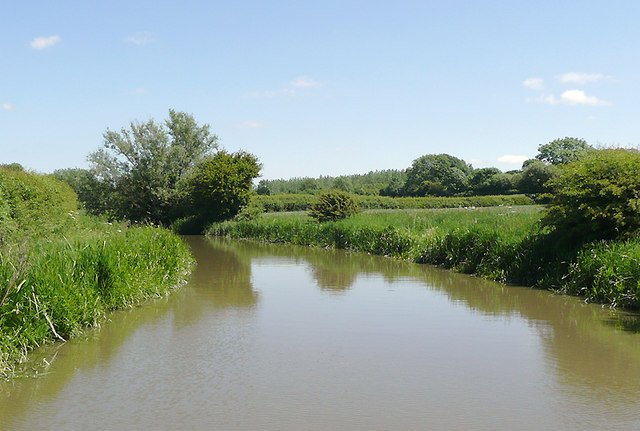
Image: © Roger D Kidd Taken: 16 Jun 2010
The canal just sneaks into the corner of this grid square. My position was GPS confirmed, and it was pure chance that I pictured this stretch of water. At present the canal provides 22 miles of lock free cruising. Originally it went as far north as Conkers (near Moira), but never reached Ashby-de-la-Zouch. Coal was carried on a regular commercial basis until the 1960s. At present the canal stops at Snarestone, though the eight mile stretch to Moira is being (or has been) restored. The canal was opened in 1804.
Images are licensed for reuse under creativecommons.org/licenses/by-sa/2.0
Image Location
Latitude
52.497172
Longitude
-1.411467