A60 at Tophouse Farm
Introduction
The photograph on this page of A60 at Tophouse Farm by Alan Murray-Rust as part of the Geograph project.
The Geograph project started in 2005 with the aim of publishing, organising and preserving representative images for every square kilometre of Great Britain, Ireland and the Isle of Man.

There are currently over 7.5m images from over 14,400 individuals and you can help contribute to the project by visiting https://www.geograph.org.uk
A60 at Tophouse Farm
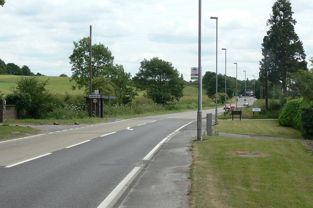
Image: © Alan Murray-Rust Taken: 6 Jul 2010
The busy Nottingham - Mansfield main road looking towards Nottingham.
Images are licensed for reuse under creativecommons.org/licenses/by-sa/2.0
Image Location
Latitude
53.026237
Longitude
-1.135651