Buildings of former RAF Quedgeley
Introduction
The photograph on this page of Buildings of former RAF Quedgeley by Derek Harper as part of the Geograph project.
The Geograph project started in 2005 with the aim of publishing, organising and preserving representative images for every square kilometre of Great Britain, Ireland and the Isle of Man.

There are currently over 7.5m images from over 14,400 individuals and you can help contribute to the project by visiting https://www.geograph.org.uk
Buildings of former RAF Quedgeley
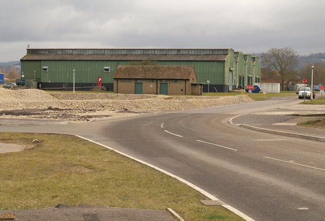
Image: © Derek Harper Taken: 12 Mar 2010
See also Image These green storage hangars, in use by businesses since RAF Quedgeley closed in 1995, are being demolished http://www.kingsway-business-park.co.uk/index.php/news/15-demolition-begins-a-new-development.html .
Images are licensed for reuse under creativecommons.org/licenses/by-sa/2.0
Image Location
Latitude
51.817736
Longitude
-2.27443