Wick Lane, Christchurch
Introduction
The photograph on this page of Wick Lane, Christchurch by mike smith as part of the Geograph project.
The Geograph project started in 2005 with the aim of publishing, organising and preserving representative images for every square kilometre of Great Britain, Ireland and the Isle of Man.

There are currently over 7.5m images from over 14,400 individuals and you can help contribute to the project by visiting https://www.geograph.org.uk
Wick Lane, Christchurch
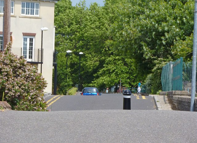
Image: © mike smith Taken: 24 Jun 2010
This continuation of Wick Lane has these very high raised sections of road to reduce the risk of flooding in the immediate area.
Images are licensed for reuse under creativecommons.org/licenses/by-sa/2.0
Image Location


Leaflet Map data © OpenStreetMap
Latitude
50.730651
Longitude
-1.780613