Bisley Common
Introduction
The photograph on this page of Bisley Common by Alan Hunt as part of the Geograph project.
The Geograph project started in 2005 with the aim of publishing, organising and preserving representative images for every square kilometre of Great Britain, Ireland and the Isle of Man.

There are currently over 7.5m images from over 14,400 individuals and you can help contribute to the project by visiting https://www.geograph.org.uk
Bisley Common
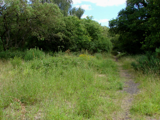
Image: © Alan Hunt Taken: 4 Jul 2010
An area of scrub that marks the position of the former car park alongside the A322. This was closed about 1990 (fly tipping, acts of gross moral turpitude, fly tipping, illegal parking, fly tipping, etc)
Images are licensed for reuse under creativecommons.org/licenses/by-sa/2.0
Image Location
Latitude
51.317587
Longitude
-0.629598