Bridge on Shepherdsgrove Lane
Introduction
The photograph on this page of Bridge on Shepherdsgrove Lane by David Anstiss as part of the Geograph project.
The Geograph project started in 2005 with the aim of publishing, organising and preserving representative images for every square kilometre of Great Britain, Ireland and the Isle of Man.

There are currently over 7.5m images from over 14,400 individuals and you can help contribute to the project by visiting https://www.geograph.org.uk
Bridge on Shepherdsgrove Lane
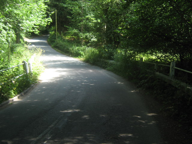
Image: © David Anstiss Taken: 4 Jul 2010
This lane leads from Dormansland towards the A264 Holtye Road. It crosses over Kent Water (a stream on the Kent Sussex boundary), but confusingly it is now the border between Surrey and East Sussex. Seen from the Surrey side. Also the Vanguard Way (long distance path) uses this quiet lane to head towards The A264 and Brookland Wood.
Images are licensed for reuse under creativecommons.org/licenses/by-sa/2.0
Image Location
Latitude
51.14133
Longitude
0.042503