George Lane
Introduction
The photograph on this page of George Lane by Michael Dibb as part of the Geograph project.
The Geograph project started in 2005 with the aim of publishing, organising and preserving representative images for every square kilometre of Great Britain, Ireland and the Isle of Man.

There are currently over 7.5m images from over 14,400 individuals and you can help contribute to the project by visiting https://www.geograph.org.uk
George Lane
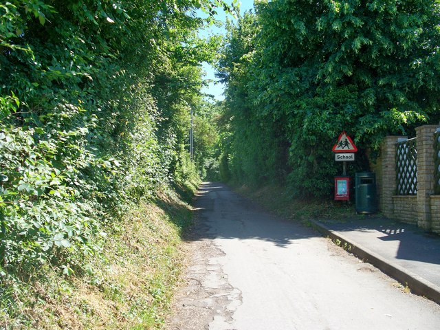
Image: © Michael Dibb Taken: 17 Jun 2010
The lane is a restricted byway and as it heads away from the centre of Chipping Campden, it loses its surface. A footpath runs parallel to the lane, on the other side of the hedge to the left.
Images are licensed for reuse under creativecommons.org/licenses/by-sa/2.0
Image Location
Latitude
52.048556
Longitude
-1.779768