A typical Kentish Oast House Home Conversion
Introduction
The photograph on this page of A typical Kentish Oast House Home Conversion by Hywel Williams as part of the Geograph project.
The Geograph project started in 2005 with the aim of publishing, organising and preserving representative images for every square kilometre of Great Britain, Ireland and the Isle of Man.

There are currently over 7.5m images from over 14,400 individuals and you can help contribute to the project by visiting https://www.geograph.org.uk
A typical Kentish Oast House Home Conversion
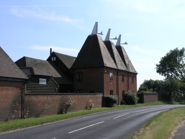
Image: © Hywel Williams Taken: 2 Jul 2006
A typical sight in this area of Kent - a farm where its oast houses are no longer used being converted into a residence. The farm is still active and is listed as Downs Farm on the Ordnance Survey.
Images are licensed for reuse under creativecommons.org/licenses/by-sa/2.0
Image Location
Latitude
51.23544
Longitude
0.43948