Paddock at Kettlebaston
Introduction
The photograph on this page of Paddock at Kettlebaston by Bob Jones as part of the Geograph project.
The Geograph project started in 2005 with the aim of publishing, organising and preserving representative images for every square kilometre of Great Britain, Ireland and the Isle of Man.

There are currently over 7.5m images from over 14,400 individuals and you can help contribute to the project by visiting https://www.geograph.org.uk
Paddock at Kettlebaston
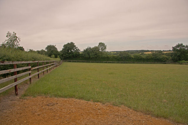
Image: © Bob Jones Taken: 6 Jul 2010
The area north and west of the village of Kettlebaston is stud farm country. Most of the fields are sturdily fenced.
Images are licensed for reuse under creativecommons.org/licenses/by-sa/2.0
Image Location
Latitude
52.115472
Longitude
0.864416