Barley near Pimperne
Introduction
The photograph on this page of Barley near Pimperne by Derek Harper as part of the Geograph project.
The Geograph project started in 2005 with the aim of publishing, organising and preserving representative images for every square kilometre of Great Britain, Ireland and the Isle of Man.

There are currently over 7.5m images from over 14,400 individuals and you can help contribute to the project by visiting https://www.geograph.org.uk
Barley near Pimperne
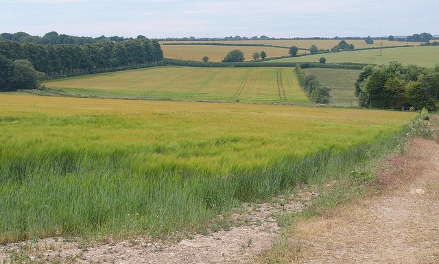
Image: © Derek Harper Taken: 1 Jul 2010
The valley is that of the Pimperne Brook, draining to the left, although the illusion is that the slope is in the other direction. This is from footpath E16/9.
Images are licensed for reuse under creativecommons.org/licenses/by-sa/2.0
Image Location
Latitude
50.875107
Longitude
-2.137101