Trimley Station
Introduction
The photograph on this page of Trimley Station by Glen Denny as part of the Geograph project.
The Geograph project started in 2005 with the aim of publishing, organising and preserving representative images for every square kilometre of Great Britain, Ireland and the Isle of Man.

There are currently over 7.5m images from over 14,400 individuals and you can help contribute to the project by visiting https://www.geograph.org.uk
Trimley Station
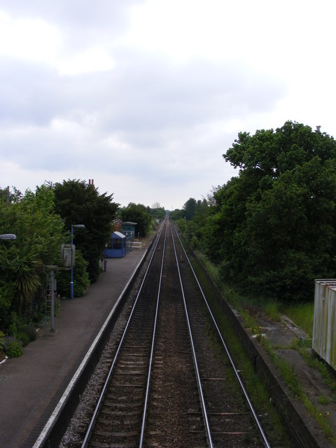
Image: © Glen Denny Taken: 12 Jun 2010
The view towards Felixstowe from the footbridge. Two tracks still pass through the station although the platform on the right is no longer in use and passenger trains in both directions use the left hand platform. The track on the right gives access to and from the western end of the Port of Felixstowe loop line, which it accesses via a sharp curve just beyond the trees on the right. The other line is used by the Ipswich to Felixstowe passenger services and by container trains to and from the eastern end of the Port of Felixstowe loop line. Both tracks are signalled for bidirectional working therefore.
Images are licensed for reuse under creativecommons.org/licenses/by-sa/2.0
Image Location
Latitude
51.975674
Longitude
1.321075