Blofield Track
Introduction
The photograph on this page of Blofield Track by Glen Denny as part of the Geograph project.
The Geograph project started in 2005 with the aim of publishing, organising and preserving representative images for every square kilometre of Great Britain, Ireland and the Isle of Man.

There are currently over 7.5m images from over 14,400 individuals and you can help contribute to the project by visiting https://www.geograph.org.uk
Blofield Track
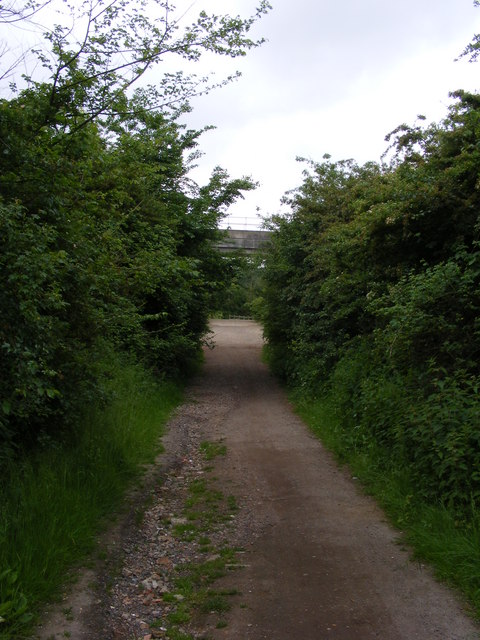
Image: © Glen Denny Taken: 12 Jun 2010
The bridleway follows Blofield Track from Cordey's Lane towards Clickett Hill. The deck of the railway bridge can just be seen crossing the track at the end of the two parallel hedges.
Images are licensed for reuse under creativecommons.org/licenses/by-sa/2.0
Image Location
Latitude
51.971027
Longitude
1.320003