Church of St Mary, Grundisburgh
Introduction
The photograph on this page of Church of St Mary, Grundisburgh by Tim Marchant as part of the Geograph project.
The Geograph project started in 2005 with the aim of publishing, organising and preserving representative images for every square kilometre of Great Britain, Ireland and the Isle of Man.

There are currently over 7.5m images from over 14,400 individuals and you can help contribute to the project by visiting https://www.geograph.org.uk
Church of St Mary, Grundisburgh
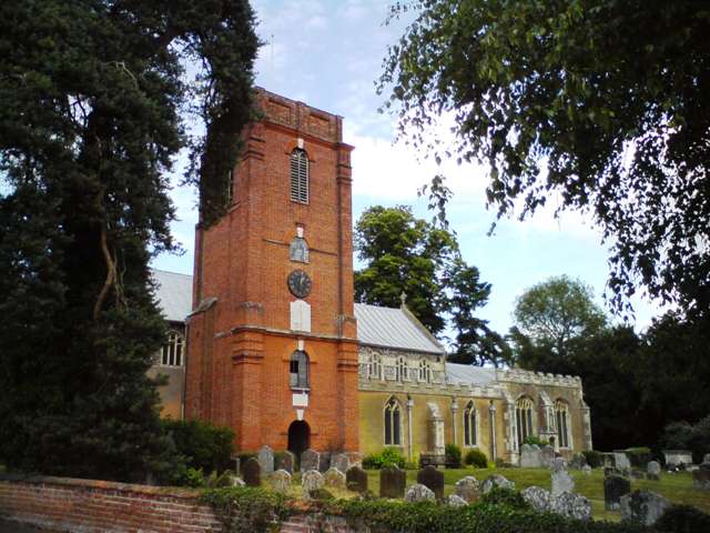
Image: © Tim Marchant Taken: 5 Jul 2010
See Suffolk Churches for a detailed write up about the church. http://suffolkchurches.co.uk/grundisburgh.html The brick tower looks oddly out of place.
Images are licensed for reuse under creativecommons.org/licenses/by-sa/2.0
Image Location
Latitude
52.113487
Longitude
1.246146