Mains of Slains
Introduction
The photograph on this page of Mains of Slains by Anne Burgess as part of the Geograph project.
The Geograph project started in 2005 with the aim of publishing, organising and preserving representative images for every square kilometre of Great Britain, Ireland and the Isle of Man.

There are currently over 7.5m images from over 14,400 individuals and you can help contribute to the project by visiting https://www.geograph.org.uk
Mains of Slains
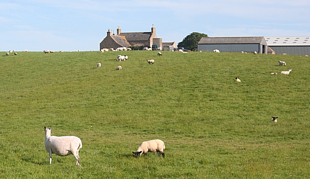
Image: © Anne Burgess Taken: 2 Jul 2010
The farm house and buildings from a bend in the farm access road. This is another farm built on an elevated and exposed site.
Images are licensed for reuse under creativecommons.org/licenses/by-sa/2.0
Image Location
Latitude
57.362522
Longitude
-1.921524