Nile Mill
Introduction
The photograph on this page of Nile Mill by Alan Murray-Rust as part of the Geograph project.
The Geograph project started in 2005 with the aim of publishing, organising and preserving representative images for every square kilometre of Great Britain, Ireland and the Isle of Man.

There are currently over 7.5m images from over 14,400 individuals and you can help contribute to the project by visiting https://www.geograph.org.uk
Nile Mill
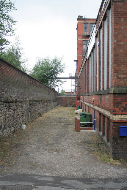
Image: © Alan Murray-Rust Taken: 29 Jun 2010
Courtyard along the east front. There are blocked-up openings in the wall to the left which are probably World War II air raid shelters.
Images are licensed for reuse under creativecommons.org/licenses/by-sa/2.0
Image Location
Latitude
53.535354
Longitude
-2.144803