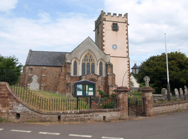
St George's church, Sampford Brett
Introduction
The photograph on this page of St George's church, Sampford Brett by Derek Harper as part of the Geograph project.
The Geograph project started in 2005 with the aim of publishing, organising and preserving representative images for every square kilometre of Great Britain, Ireland and the Isle of Man.
There are currently over 7.5m images from over 14,400 individuals and you can help contribute to the project by visiting https://www.geograph.org.uk

Image: © Derek Harper Taken: 30 Jun 2010
Another view of the church shown in Image, with its battlemented C14 tower on the south side. "No-one could call the W front pretty", says Pevsner in 1958, continuing: "the imitation Gothic tracery here is monstrously ignorant and aesthetically of no value", but http://webapp1.somerset.gov.uk/her/details.asp?prn=34660 explains "West porch ... added, restored 1960-2 after World War 2 damage, West windows rebuilt 1967", so perhaps the appearance has changed since. It does look a little odd, however.

