Old School, Sampford Brett
Introduction
The photograph on this page of Old School, Sampford Brett by Derek Harper as part of the Geograph project.
The Geograph project started in 2005 with the aim of publishing, organising and preserving representative images for every square kilometre of Great Britain, Ireland and the Isle of Man.

There are currently over 7.5m images from over 14,400 individuals and you can help contribute to the project by visiting https://www.geograph.org.uk
Old School, Sampford Brett
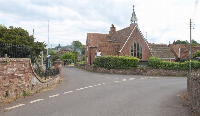
Image: © Derek Harper Taken: 30 Jun 2010
Although the building is recorded at http://webapp1.somerset.gov.uk/her/details.asp?prn=19374 , no date is given, though it's clearly Victorian. On the left are the wall and railings surroundeing the churchyard of St George's church, shown in Image
Images are licensed for reuse under creativecommons.org/licenses/by-sa/2.0
Image Location
Latitude
51.153601
Longitude
-3.303811