Glorious Gloucestershire
Introduction
The photograph on this page of Glorious Gloucestershire by Michael Dibb as part of the Geograph project.
The Geograph project started in 2005 with the aim of publishing, organising and preserving representative images for every square kilometre of Great Britain, Ireland and the Isle of Man.

There are currently over 7.5m images from over 14,400 individuals and you can help contribute to the project by visiting https://www.geograph.org.uk
Glorious Gloucestershire
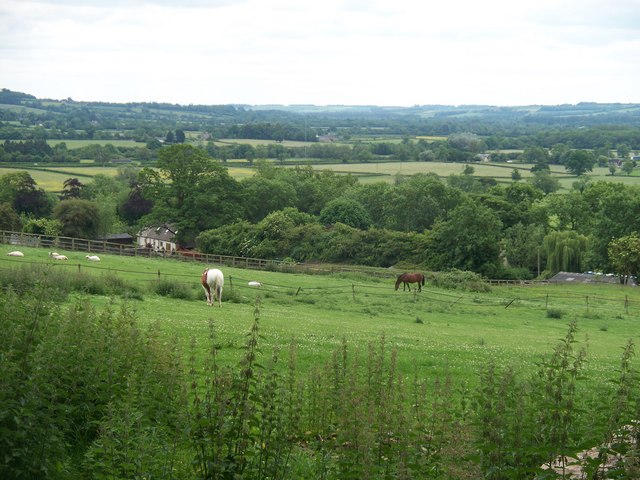
Image: © Michael Dibb Taken: 15 Jun 2010
Seen from the footpath that is part of the Monarch's Way long distance path is this view of the valley of the river Dikler. The very tall mast seen in the centre of the image is near Meadow Farm on the Fosse Way (A429).
Images are licensed for reuse under creativecommons.org/licenses/by-sa/2.0
Image Location
Latitude
51.908924
Longitude
-1.733497