Iron Bridge, Brabyns Park, Marple Bridge
Introduction
The photograph on this page of Iron Bridge, Brabyns Park, Marple Bridge by michael ely as part of the Geograph project.
The Geograph project started in 2005 with the aim of publishing, organising and preserving representative images for every square kilometre of Great Britain, Ireland and the Isle of Man.

There are currently over 7.5m images from over 14,400 individuals and you can help contribute to the project by visiting https://www.geograph.org.uk
Iron Bridge, Brabyns Park, Marple Bridge
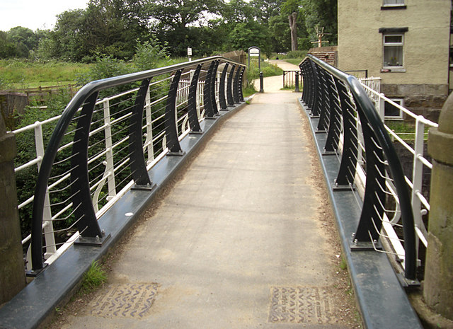
Image: © michael ely Taken: 4 Jul 2010
Spanning the River Goyt close to its confluence with the River Etherow about one kilometre north of Marple Bridge. New rails have been built on the inside of the originals. It is now more difficult to jump into the river.
Images are licensed for reuse under creativecommons.org/licenses/by-sa/2.0
Image Location


Leaflet Map data © OpenStreetMap
Latitude
53.408511
Longitude
-2.058026