Monksilver
Introduction
The photograph on this page of Monksilver by Derek Harper as part of the Geograph project.
The Geograph project started in 2005 with the aim of publishing, organising and preserving representative images for every square kilometre of Great Britain, Ireland and the Isle of Man.

There are currently over 7.5m images from over 14,400 individuals and you can help contribute to the project by visiting https://www.geograph.org.uk
Monksilver
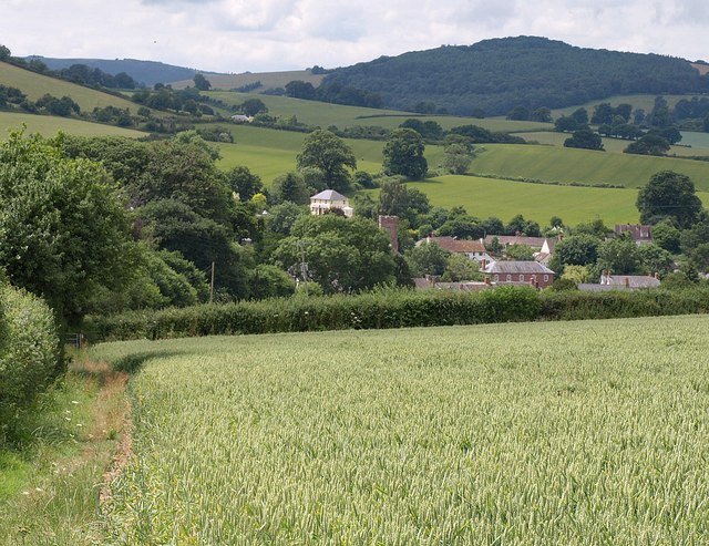
Image: © Derek Harper Taken: 30 Jun 2010
A view from Coleridge Way, approaching the village from the east along footpath WL 15/10. It sits in the valley of the Willet.
Images are licensed for reuse under creativecommons.org/licenses/by-sa/2.0
Image Location


Leaflet Map data © OpenStreetMap
Latitude
51.128334
Longitude
-3.327537