Road Junction, near Letterston
Introduction
The photograph on this page of Road Junction, near Letterston by Martyn Harries as part of the Geograph project.
The Geograph project started in 2005 with the aim of publishing, organising and preserving representative images for every square kilometre of Great Britain, Ireland and the Isle of Man.

There are currently over 7.5m images from over 14,400 individuals and you can help contribute to the project by visiting https://www.geograph.org.uk
Road Junction, near Letterston
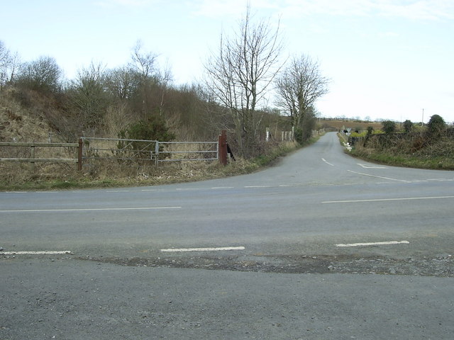
Image: © Martyn Harries Taken: 2 Apr 2010
This photograph shows a view of the junction of the B4331 and the minor road to the A40, near the former railway station, Mathry Road Station. Beyond the double gates, covered by the overgrowth of brambles and vegetation, the remains of the former cattle pens and market between the railway line and the minor road, especially the concrete floor and the corrugated metal buildings, can be seen.
Images are licensed for reuse under creativecommons.org/licenses/by-sa/2.0
Image Location
Latitude
51.935528
Longitude
-5.014491