View to Bredon Hill
Introduction
The photograph on this page of View to Bredon Hill by Pauline E as part of the Geograph project.
The Geograph project started in 2005 with the aim of publishing, organising and preserving representative images for every square kilometre of Great Britain, Ireland and the Isle of Man.

There are currently over 7.5m images from over 14,400 individuals and you can help contribute to the project by visiting https://www.geograph.org.uk
View to Bredon Hill
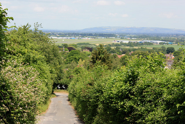
Image: © Pauline E Taken: 3 Jul 2010
The single track road approaches the bottom of Churchdown Hill with views over Gloucestershire Airport towards Bredon Hill.
Images are licensed for reuse under creativecommons.org/licenses/by-sa/2.0
Image Location
Latitude
51.878101
Longitude
-2.17025