Cows at Higher Farm
Introduction
The photograph on this page of Cows at Higher Farm by Stephen Craven as part of the Geograph project.
The Geograph project started in 2005 with the aim of publishing, organising and preserving representative images for every square kilometre of Great Britain, Ireland and the Isle of Man.

There are currently over 7.5m images from over 14,400 individuals and you can help contribute to the project by visiting https://www.geograph.org.uk
Cows at Higher Farm
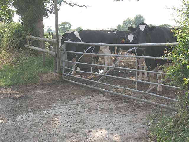
Image: © Stephen Craven Taken: 27 Jun 2010
These friesian cows are evidence (if it were needed) that Higher Farm Image across the road is a working dairy farm. A footpath sign can be seen by the gate. The path leads across to Lily Lane.
Images are licensed for reuse under creativecommons.org/licenses/by-sa/2.0
Image Location
Latitude
53.207895
Longitude
-2.414397