River Dane upstream of Byley Bridge
Introduction
The photograph on this page of River Dane upstream of Byley Bridge by Stephen Craven as part of the Geograph project.
The Geograph project started in 2005 with the aim of publishing, organising and preserving representative images for every square kilometre of Great Britain, Ireland and the Isle of Man.

There are currently over 7.5m images from over 14,400 individuals and you can help contribute to the project by visiting https://www.geograph.org.uk
River Dane upstream of Byley Bridge
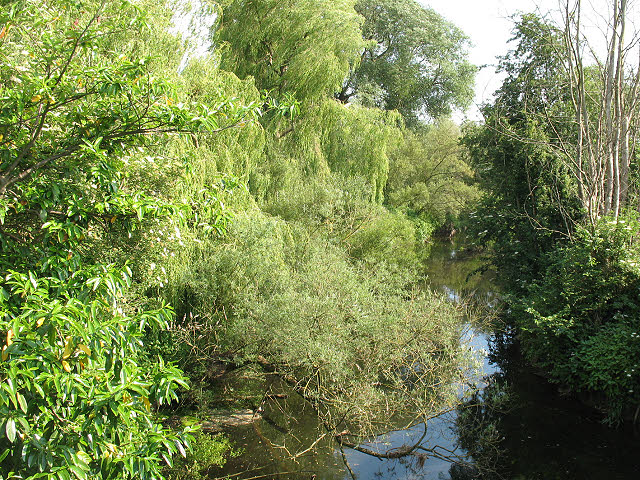
Image: © Stephen Craven Taken: 27 Jun 2010
Unlike the stretch immediately downstream of the bridge Image, which is used by anglers, the stretch upstream is overgrown on both banks to the point of being inaccessible. This view is from the parapet of the bridge.
Images are licensed for reuse under creativecommons.org/licenses/by-sa/2.0
Image Location


Leaflet Map data © OpenStreetMap
Latitude
53.202993
Longitude
-2.427973