Old railway bridge, Rother Valley Park
Introduction
The photograph on this page of Old railway bridge, Rother Valley Park by David Morris as part of the Geograph project.
The Geograph project started in 2005 with the aim of publishing, organising and preserving representative images for every square kilometre of Great Britain, Ireland and the Isle of Man.

There are currently over 7.5m images from over 14,400 individuals and you can help contribute to the project by visiting https://www.geograph.org.uk
Old railway bridge, Rother Valley Park
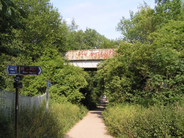
Image: © David Morris Taken: 1 Jul 2006
The path is the Sothall entrance to Rother Valley Country Park. The bridge once carried the Great Central Beighton branch on to Spinkhill, Clowne and beyond. The bridge Image crosses this line further south. To the right (south), the TPT continues on the path of the GC out to Renishaw and Staveley. Image is taken a little further to the north from this location.
Images are licensed for reuse under creativecommons.org/licenses/by-sa/2.0
Image Location


Leaflet Map data © OpenStreetMap
Latitude
53.33571
Longitude
-1.327189