Signpost near Millfield
Introduction
The photograph on this page of Signpost near Millfield by Richard Webb as part of the Geograph project.
The Geograph project started in 2005 with the aim of publishing, organising and preserving representative images for every square kilometre of Great Britain, Ireland and the Isle of Man.

There are currently over 7.5m images from over 14,400 individuals and you can help contribute to the project by visiting https://www.geograph.org.uk
Signpost near Millfield
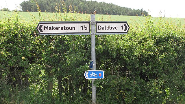
Image: © Richard Webb Taken: 2 Jul 2010
Unlike linnets, chaffinches stay in one place long enough to photograph them. The road to Dalcove is a dead end, runs up against the Tweed, but the other two roads are currently used by the National Cycle Network route 1 between St Boswells and Kelso.
Images are licensed for reuse under creativecommons.org/licenses/by-sa/2.0
Image Location
Latitude
55.587605
Longitude
-2.549695