Moel Maenefa (Eve's Tomb Hill)
Introduction
The photograph on this page of Moel Maenefa (Eve's Tomb Hill) by Joseph Jones as part of the Geograph project.
The Geograph project started in 2005 with the aim of publishing, organising and preserving representative images for every square kilometre of Great Britain, Ireland and the Isle of Man.

There are currently over 7.5m images from over 14,400 individuals and you can help contribute to the project by visiting https://www.geograph.org.uk
Moel Maenefa (Eve's Tomb Hill)
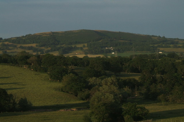
Image: © Joseph Jones Taken: 2 Jul 2010
Looking across the Vale of Clwyd AONB. St Bueno's College / Retreat can be seen mid right. Blackpool Tower can be seen from the top of Moel Maenefa on a clear day.
Images are licensed for reuse under creativecommons.org/licenses/by-sa/2.0
Image Location
Latitude
53.258809
Longitude
-3.370099