Weedon-Church Street
Introduction
The photograph on this page of Weedon-Church Street by Ian Rob as part of the Geograph project.
The Geograph project started in 2005 with the aim of publishing, organising and preserving representative images for every square kilometre of Great Britain, Ireland and the Isle of Man.

There are currently over 7.5m images from over 14,400 individuals and you can help contribute to the project by visiting https://www.geograph.org.uk
Weedon-Church Street
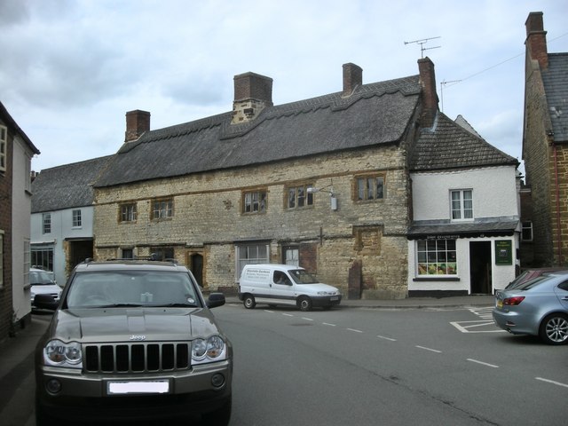
Image: © Ian Rob Taken: 2 Jul 2010
Large thatched building formerly the old Bakehouse, dating from the 15th century, is now a private house with the Tudor greengrocers shop on the end
Images are licensed for reuse under creativecommons.org/licenses/by-sa/2.0
Image Location
Latitude
52.228306
Longitude
-1.079045