Barn conversion, Stubton
Introduction
The photograph on this page of Barn conversion, Stubton by Jonathan Thacker as part of the Geograph project.
The Geograph project started in 2005 with the aim of publishing, organising and preserving representative images for every square kilometre of Great Britain, Ireland and the Isle of Man.

There are currently over 7.5m images from over 14,400 individuals and you can help contribute to the project by visiting https://www.geograph.org.uk
Barn conversion, Stubton
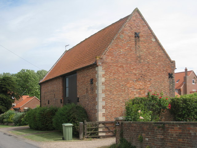
Image: © Jonathan Thacker Taken: 2 Jul 2010
This was part of Home Farm which was largely destroyed by an air crash in March 1962. http://stubtonvillage.com/History_of_Stubton_Village/
Images are licensed for reuse under creativecommons.org/licenses/by-sa/2.0
Image Location
Latitude
53.030535
Longitude
-0.699101