Residential Housing
Introduction
The photograph on this page of Residential Housing by mike smith as part of the Geograph project.
The Geograph project started in 2005 with the aim of publishing, organising and preserving representative images for every square kilometre of Great Britain, Ireland and the Isle of Man.

There are currently over 7.5m images from over 14,400 individuals and you can help contribute to the project by visiting https://www.geograph.org.uk
Residential Housing
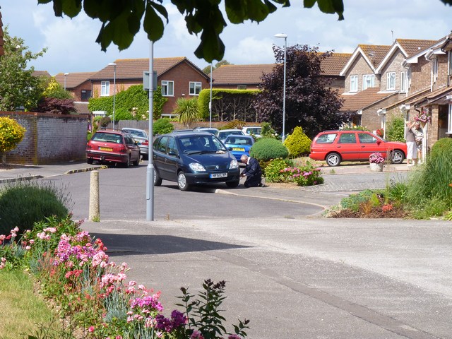
Image: © mike smith Taken: 3 Jul 2010
These homes are typical of those built in the 1980s on the former Christchurch Airfield. All the roads in the area are named after types of aircraft. These houses are on Viscount Drive.
Images are licensed for reuse under creativecommons.org/licenses/by-sa/2.0
Image Location
Latitude
50.736853
Longitude
-1.735663