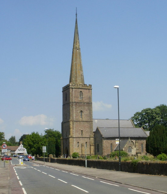
Parish church of St Mary's, Lydney
Introduction
The photograph on this page of Parish church of St Mary's, Lydney by Jaggery as part of the Geograph project.
The Geograph project started in 2005 with the aim of publishing, organising and preserving representative images for every square kilometre of Great Britain, Ireland and the Isle of Man.
There are currently over 7.5m images from over 14,400 individuals and you can help contribute to the project by visiting https://www.geograph.org.uk

Image: © Jaggery Taken: 26 Jun 2010
Viewed from Church Road, looking north. I am grateful to a correspondent who informed me that a leaflet inside the church states that the spire rises to 197 feet. This is the tallest structure in Lydney and is a landmark visible from much of the town and beyond. There may have been a church of some description on this site since Saxon times. The tower dates from the 13th century. The spire was a later addition, and was rebuilt in the late 19th century after part of it collapsed.

