A stile on the footpath from Easewell Farm to North Morte Road
Introduction
The photograph on this page of A stile on the footpath from Easewell Farm to North Morte Road by Roger A Smith as part of the Geograph project.
The Geograph project started in 2005 with the aim of publishing, organising and preserving representative images for every square kilometre of Great Britain, Ireland and the Isle of Man.

There are currently over 7.5m images from over 14,400 individuals and you can help contribute to the project by visiting https://www.geograph.org.uk
A stile on the footpath from Easewell Farm to North Morte Road
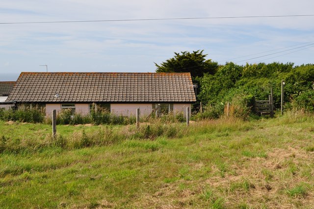
Image: © Roger A Smith Taken: 2 Jul 2010
A sign informs the walker that the footpath is straight across the field. However, it doesn't specify a direction. Imagine a field with several disorientated hikers wandering in search of a way out and you will have imagined the scene here today!
Images are licensed for reuse under creativecommons.org/licenses/by-sa/2.0
Image Location


Leaflet Map data © OpenStreetMap
Latitude
51.188071
Longitude
-4.201887