
Macclesfield Canal Conduit
Introduction
The photograph on this page of Macclesfield Canal Conduit by Alan Murray-Rust as part of the Geograph project.
The Geograph project started in 2005 with the aim of publishing, organising and preserving representative images for every square kilometre of Great Britain, Ireland and the Isle of Man.

There are currently over 7.5m images from over 14,400 individuals and you can help contribute to the project by visiting https://www.geograph.org.uk
Macclesfield Canal Conduit
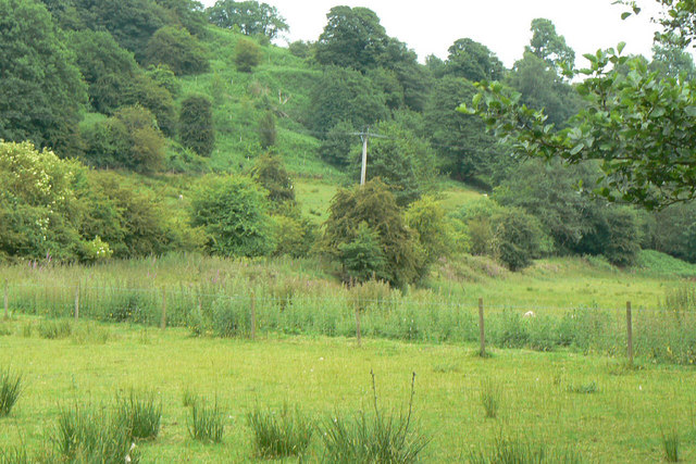
Image: © Alan Murray-Rust Taken: 28 Jun 2010
This appears to be out of use but follows the line of the fence across the foreground, then following the embankment beyond. This conduit did not feed water into Bosley Reservoir, but provided a compensation bypass of the reservoir so that an adequate flow could be maintained in the Bosley Brook below the lake. Such compensation was very significant when there were water mills or other locations dependent on supplies from a dammed watercourse.
Images are licensed for reuse under creativecommons.org/licenses/by-sa/2.0
Image Location

Latitude
53.199386
Longitude
-2.120464