Durrington Housing, Maybridge Crescent
Introduction
The photograph on this page of Durrington Housing, Maybridge Crescent by Chris Shaw as part of the Geograph project.
The Geograph project started in 2005 with the aim of publishing, organising and preserving representative images for every square kilometre of Great Britain, Ireland and the Isle of Man.

There are currently over 7.5m images from over 14,400 individuals and you can help contribute to the project by visiting https://www.geograph.org.uk
Durrington Housing, Maybridge Crescent
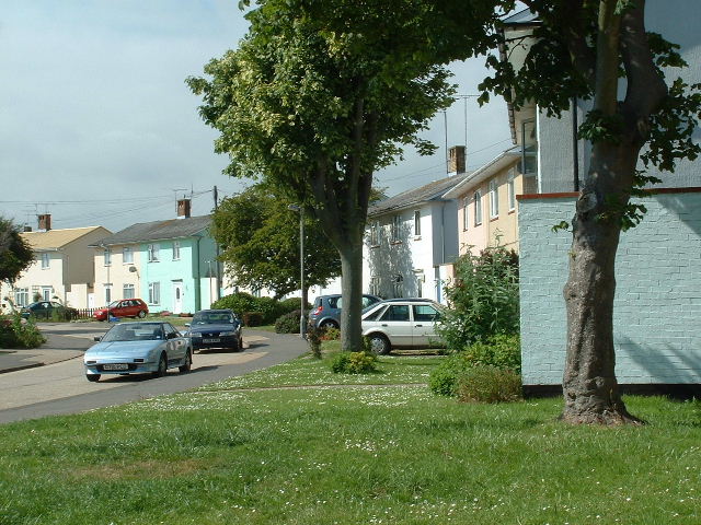
Image: © Chris Shaw Taken: 17 Jun 2005
Typical Durrington housing just north of the railway near The Strand.
Images are licensed for reuse under creativecommons.org/licenses/by-sa/2.0
Image Location
Latitude
50.819891
Longitude
-0.420049