Stream crossing
Introduction
The photograph on this page of Stream crossing by Jonathan Wilkins as part of the Geograph project.
The Geograph project started in 2005 with the aim of publishing, organising and preserving representative images for every square kilometre of Great Britain, Ireland and the Isle of Man.

There are currently over 7.5m images from over 14,400 individuals and you can help contribute to the project by visiting https://www.geograph.org.uk
Stream crossing
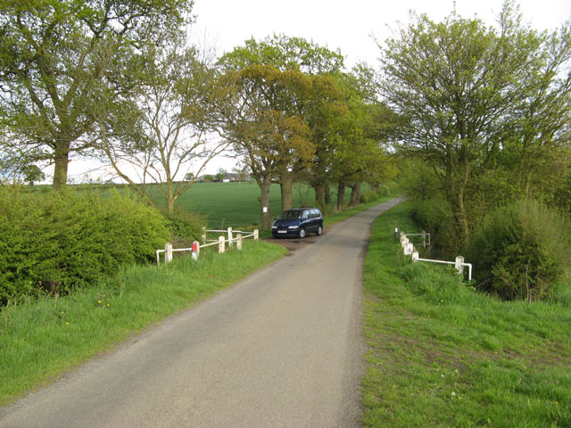
Image: © Jonathan Wilkins Taken: 12 May 2010
The road up the hill to Crow Hill Farm is planted with a neat avenue of trees, which contrast with the open fields towards Keyworth. The small stream which flows south-westward is the Fairham Brook.
Images are licensed for reuse under creativecommons.org/licenses/by-sa/2.0
Image Location
Latitude
52.858673
Longitude
-1.053136