King Alfred Avenue, Bellingham
Introduction
The photograph on this page of King Alfred Avenue, Bellingham by Stephen Craven as part of the Geograph project.
The Geograph project started in 2005 with the aim of publishing, organising and preserving representative images for every square kilometre of Great Britain, Ireland and the Isle of Man.

There are currently over 7.5m images from over 14,400 individuals and you can help contribute to the project by visiting https://www.geograph.org.uk
King Alfred Avenue, Bellingham
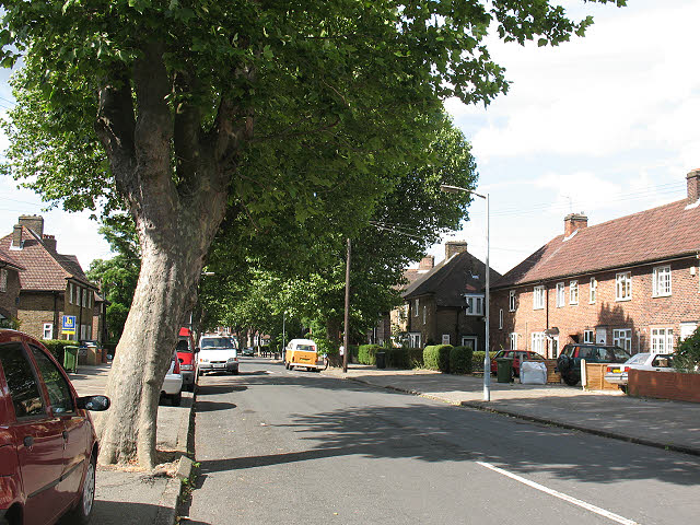
Image: © Stephen Craven Taken: 29 Jun 2010
The naming of this road after an Anglo-Saxon monarch ties in well with the name of the church on the estate (St Dunstan's). The housing dates from the 1920s.
Images are licensed for reuse under creativecommons.org/licenses/by-sa/2.0
Image Location
Latitude
51.43223
Longitude
-0.024252