Dane End Tributary & Smart's Hill
Introduction
The photograph on this page of Dane End Tributary & Smart's Hill by Nigel Cox as part of the Geograph project.
The Geograph project started in 2005 with the aim of publishing, organising and preserving representative images for every square kilometre of Great Britain, Ireland and the Isle of Man.

There are currently over 7.5m images from over 14,400 individuals and you can help contribute to the project by visiting https://www.geograph.org.uk
Dane End Tributary & Smart's Hill
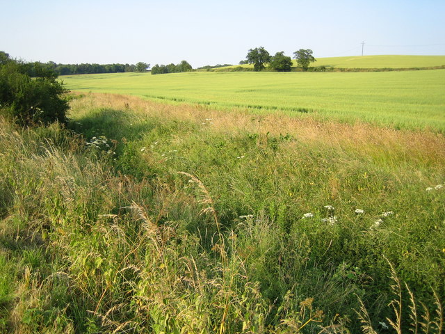
Image: © Nigel Cox Taken: 30 Jun 2006
Viewed from the road between Dane End and Sacombe, Dane End Tributary flows into the River Beane near Watton at Stone. Smart's Hill is to the right.
Images are licensed for reuse under creativecommons.org/licenses/by-sa/2.0
Image Location
Latitude
51.868058
Longitude
-0.065344