Dawson Heights, SE22
Introduction
The photograph on this page of Dawson Heights, SE22 by Malc McDonald as part of the Geograph project.
The Geograph project started in 2005 with the aim of publishing, organising and preserving representative images for every square kilometre of Great Britain, Ireland and the Isle of Man.

There are currently over 7.5m images from over 14,400 individuals and you can help contribute to the project by visiting https://www.geograph.org.uk
Dawson Heights, SE22
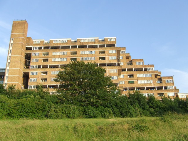
Image: © Malc McDonald Taken: 27 Jun 2010
The twin blocks at Dawson Heights were built in 1972, and form a dramatic on the local skyline.
Images are licensed for reuse under creativecommons.org/licenses/by-sa/2.0
Image Location
Latitude
51.447422
Longitude
-0.067058