Caledonian Road & Barnsbury Station
Introduction
The photograph on this page of Caledonian Road & Barnsbury Station by Dr Neil Clifton as part of the Geograph project.
The Geograph project started in 2005 with the aim of publishing, organising and preserving representative images for every square kilometre of Great Britain, Ireland and the Isle of Man.

There are currently over 7.5m images from over 14,400 individuals and you can help contribute to the project by visiting https://www.geograph.org.uk
Caledonian Road & Barnsbury Station
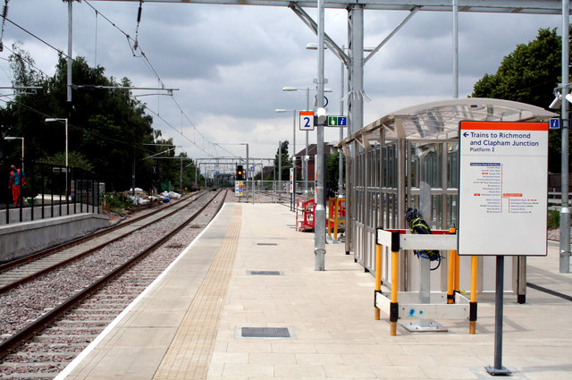
Image: © Dr Neil Clifton Taken: 30 Jun 2010
Looking west along Platform 2, which is now used for westbound trains. Platform 3 for eastbound trains is out of view on the right.
Images are licensed for reuse under creativecommons.org/licenses/by-sa/2.0
Image Location
Latitude
51.543783
Longitude
-0.114319