East along Biddestone Cemetery
Introduction
The photograph on this page of East along Biddestone Cemetery by Brian Robert Marshall as part of the Geograph project.
The Geograph project started in 2005 with the aim of publishing, organising and preserving representative images for every square kilometre of Great Britain, Ireland and the Isle of Man.

There are currently over 7.5m images from over 14,400 individuals and you can help contribute to the project by visiting https://www.geograph.org.uk
East along Biddestone Cemetery
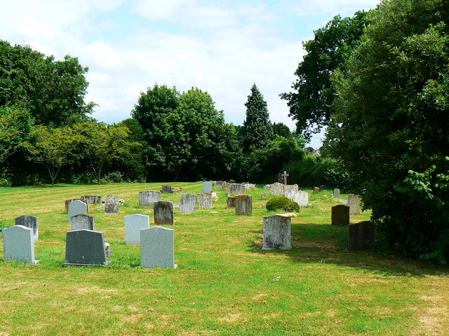
Image: © Brian Robert Marshall Taken: 30 Jun 2010
The local churchyard is apparently full so it is likely that this cemetery was opened either towards the end of the 19th century or later. Most of the graves are 20th century. There is still quite a lot of space.
Images are licensed for reuse under creativecommons.org/licenses/by-sa/2.0
Image Location
Latitude
51.458678
Longitude
-2.204334