Housing in Clitheroe
Introduction
The photograph on this page of Housing in Clitheroe by John Tustin as part of the Geograph project.
The Geograph project started in 2005 with the aim of publishing, organising and preserving representative images for every square kilometre of Great Britain, Ireland and the Isle of Man.

There are currently over 7.5m images from over 14,400 individuals and you can help contribute to the project by visiting https://www.geograph.org.uk
Housing in Clitheroe
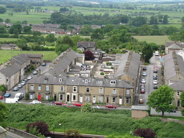
Image: © John Tustin Taken: 15 Jun 2010
Good views of the local architecture are visible from the castle. This block is fronted on Castle View and bounded on its sides by DeLacy Street and Montague Street.
Images are licensed for reuse under creativecommons.org/licenses/by-sa/2.0
Image Location
Latitude
53.871479
Longitude
-2.396751