Chetwynd Road
Introduction
The photograph on this page of Chetwynd Road by Alan Murray-Rust as part of the Geograph project.
The Geograph project started in 2005 with the aim of publishing, organising and preserving representative images for every square kilometre of Great Britain, Ireland and the Isle of Man.

There are currently over 7.5m images from over 14,400 individuals and you can help contribute to the project by visiting https://www.geograph.org.uk
Chetwynd Road
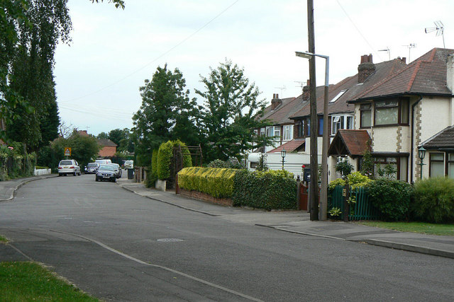
Image: © Alan Murray-Rust Taken: 24 Jun 2010
Now a residential backwater, it ran through to Chilwell High Road before the construction of the Chilwell Ordnance Depot.
Images are licensed for reuse under creativecommons.org/licenses/by-sa/2.0
Image Location
Latitude
52.908904
Longitude
-1.251888