Swiney Way
Introduction
The photograph on this page of Swiney Way by Alan Murray-Rust as part of the Geograph project.
The Geograph project started in 2005 with the aim of publishing, organising and preserving representative images for every square kilometre of Great Britain, Ireland and the Isle of Man.

There are currently over 7.5m images from over 14,400 individuals and you can help contribute to the project by visiting https://www.geograph.org.uk
Swiney Way
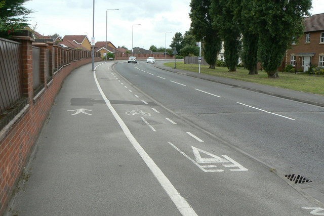
Image: © Alan Murray-Rust Taken: 24 Jun 2010
The major distributor road created for the redeveloped Chilwell Ordnance Depot site. At this point it forms part of the Sustrans route 6.
Images are licensed for reuse under creativecommons.org/licenses/by-sa/2.0
Image Location
Latitude
52.904822
Longitude
-1.246159