Railway bridge, St Norbert Road SE4
Introduction
The photograph on this page of Railway bridge, St Norbert Road SE4 by Malc McDonald as part of the Geograph project.
The Geograph project started in 2005 with the aim of publishing, organising and preserving representative images for every square kilometre of Great Britain, Ireland and the Isle of Man.

There are currently over 7.5m images from over 14,400 individuals and you can help contribute to the project by visiting https://www.geograph.org.uk
Railway bridge, St Norbert Road SE4
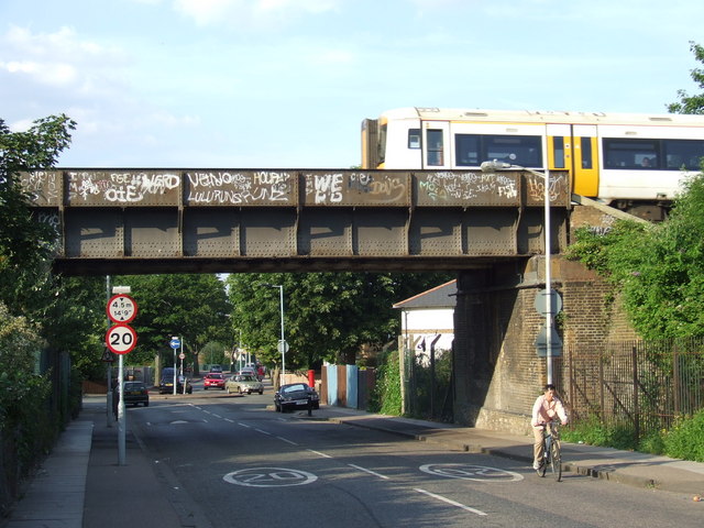
Image: © Malc McDonald Taken: 27 Jun 2010
Bridge carrying the railway between Nunhead and Crofton Park stations, across St Norbert Road.
Images are licensed for reuse under creativecommons.org/licenses/by-sa/2.0
Image Location
Latitude
51.460231
Longitude
-0.042333