Diggle from Harrop Edge
Introduction
The photograph on this page of Diggle from Harrop Edge by Bill Boaden as part of the Geograph project.
The Geograph project started in 2005 with the aim of publishing, organising and preserving representative images for every square kilometre of Great Britain, Ireland and the Isle of Man.

There are currently over 7.5m images from over 14,400 individuals and you can help contribute to the project by visiting https://www.geograph.org.uk
Diggle from Harrop Edge
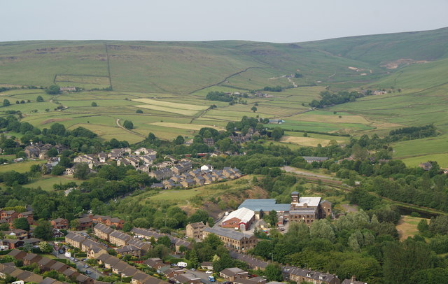
Image: © Bill Boaden Taken: 30 Jun 2010
This is where both the railway and canal, arriving from bottom right, enter their Standedge Tunnels.
Images are licensed for reuse under creativecommons.org/licenses/by-sa/2.0
Image Location
Latitude
53.567979
Longitude
-1.99513